

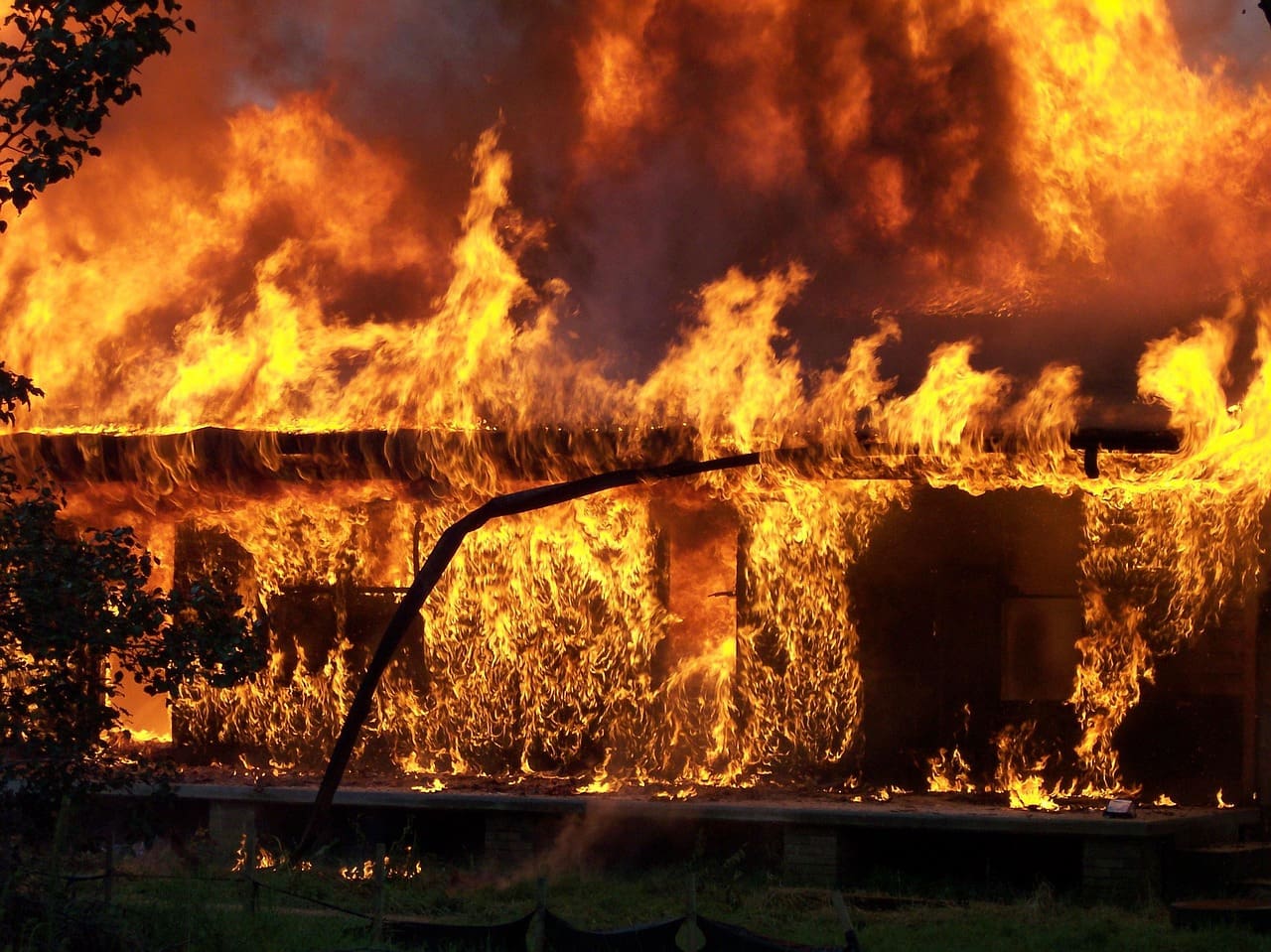
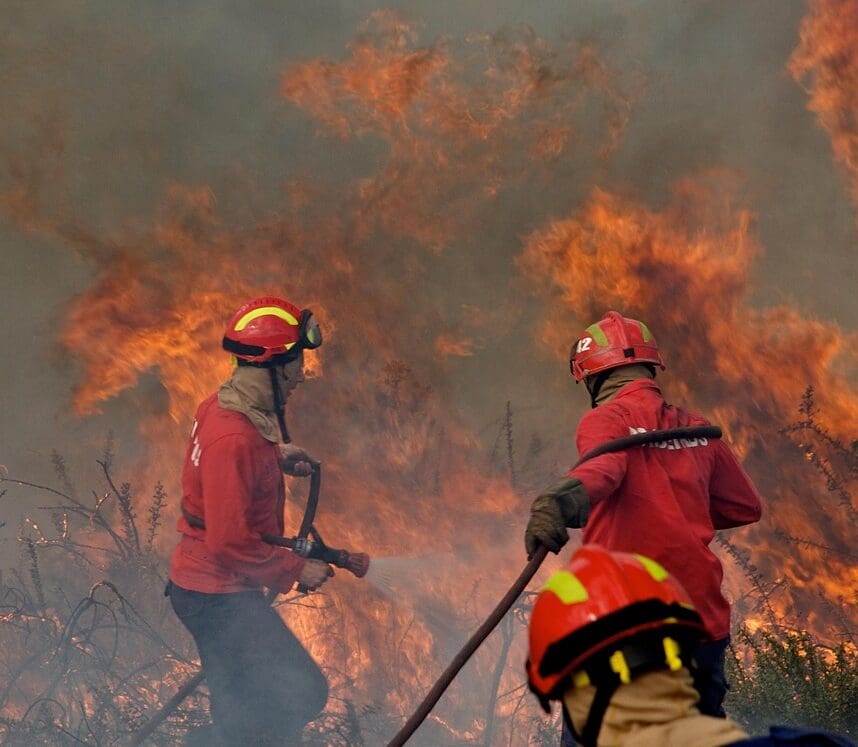
The destruction caused by the LA fires can be seen in powerful visual representations, from striking images of burned neighborhoods to maps showing the vast areas affected. These visuals help capture the true scale of the disaster, making it easier for people to understand the impact on communities.
****
The wildfires in Los Angeles County have left a path of destruction, displacing families, destroying homes, and leaving communities in distress. For those living outside the affected areas, it can be difficult to fully grasp the emotional and physical toll these fires have taken. Without firsthand experience, the depth of the tragedy may feel distant. That’s why visual storytelling—through photos, videos, and maps—plays a crucial role in helping people understand the severity of the devastation and the urgent need for support.
Why Is It Hard To Fully Relate To The Pain That The LA Fires Have Caused Locals
People often struggle to fully grasp a tragedy when it isn’t happening right in front of them. It’s harder to feel deep empathy for something we haven’t personally experienced.
For example, those living outside of LA County may find it difficult to truly understand the devastation that LA residents are facing. Without seeing the destruction firsthand, the severity of the fires can feel distant and unreal.
The loss and suffering caused by the LA fires are immense. For people farther away, it’s natural to have trouble processing the full impact. That’s why it’s important to recognize the challenge of understanding someone else’s pain—and to make the effort to show empathy for those affected.
How Some Big Issues Don’t Seem Real If We Are Not There And Only See In The News
It is hard to visualize something that is not happening right in front of us. The news is a media source used to inform people on important issues. The LA fires have been all over the news. There has been footage of homes caught up in flames, trees burning down, and people evacuating with their beloved belongings.
The media coverage on the LA fires is hard to digest. It is not uncommon for people to view the LA fires as unreal. The damage caused by these fires in LA can be challenging to understand, especially when you are only seeing the devastation through a news channel.
How Big Are The LA Fires? Putting The Devastation In Visual Context
According to Cal Matters, the LA fires have burned more than 50,000 acres which is approximately 500 Disneylands in size. The fires in LA have been catastrophic and breaking records in the history of wildfires in North America. In order to gain a visual understanding of how large the fires in LA are, the link here allows you to use your home address to see how your own city would be affected by the size of these fires.
Another way to visualize the devastation created by the fires in LA is through comparison. Below is a map of New York with the Palisades wildfire on top of it. This image is taken from a BBC article that you can view here. This image demonstrates the size of the Palisades wildfire in New York to provide an example of how this fire would look in other cities across the United States.

(BBC News, 2025)
The visual representations used above helps provide people with a better understanding of the devastation being caused by the LA fires. By looking at these images and comparing them to your own city, you can begin to find more empathy for the people affected by these fires.